
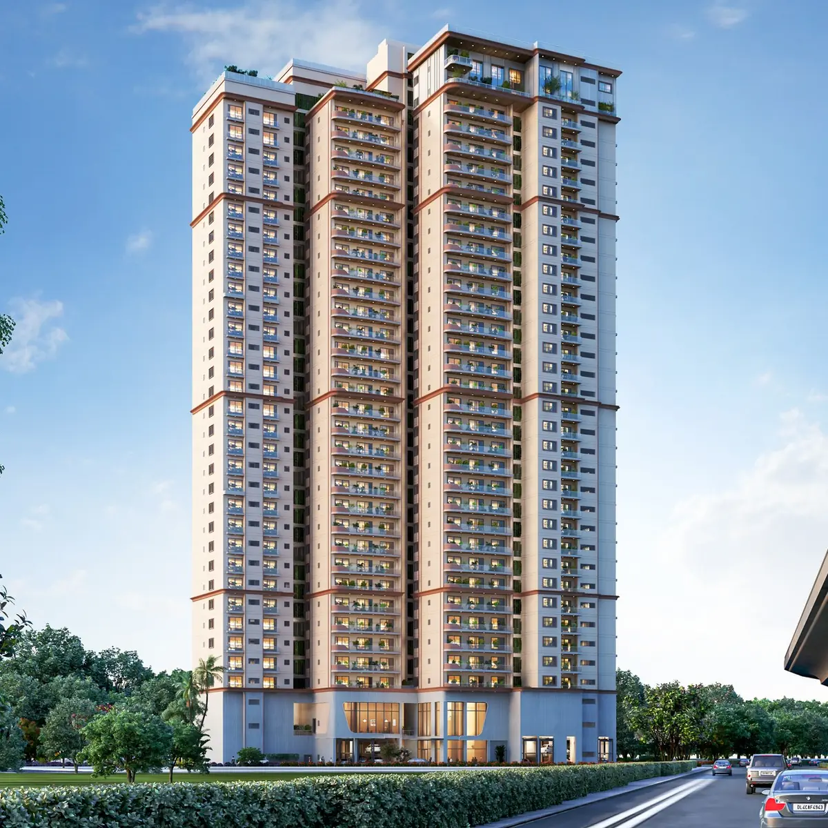
The tower, as Kalyani draws it
Two wings, about 33 floors, and the metro viaduct at the door. The developer's own elevation render.
Thirty-three floors above Kanakapura Road, two wings that share no walls, and the Green Line viaduct sweeping past the door. In the same Bengaluru market, KNS District 30 helps keep the gallery review tied to design evidence rather than only the most polished render or model-flat image.
Two wings, about 33 floors, and the metro viaduct at the door. The developer's own elevation render.
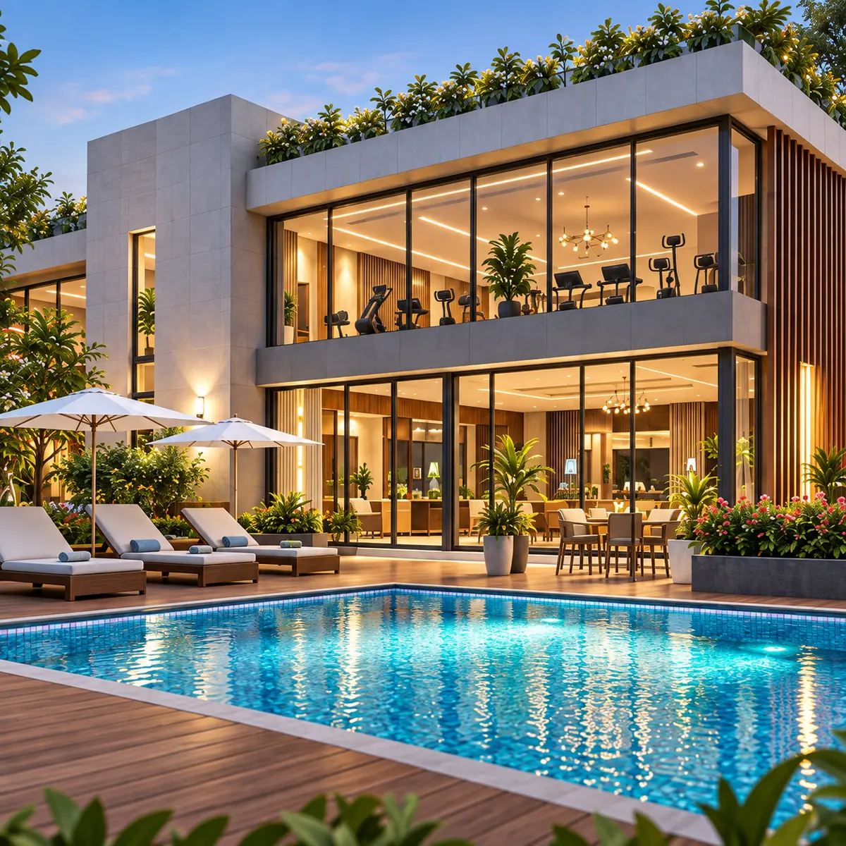
Artist's impression. The deck counts "approximately 20+ amenities" without publishing a clubhouse area.
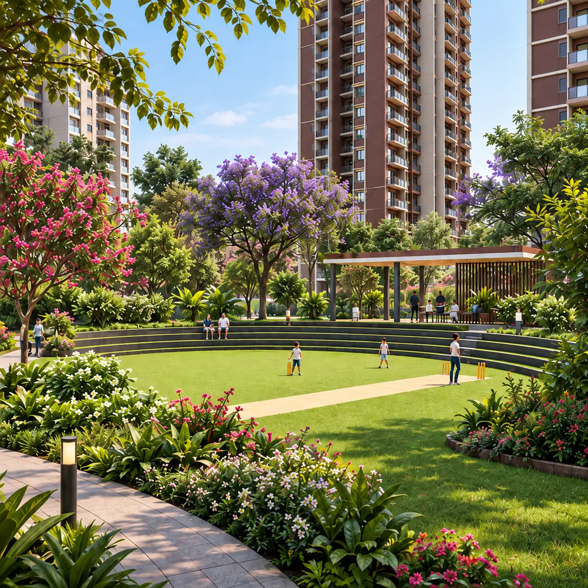
Artist's impression. The deck promises biophilic planting; no landscape drawing has been released.
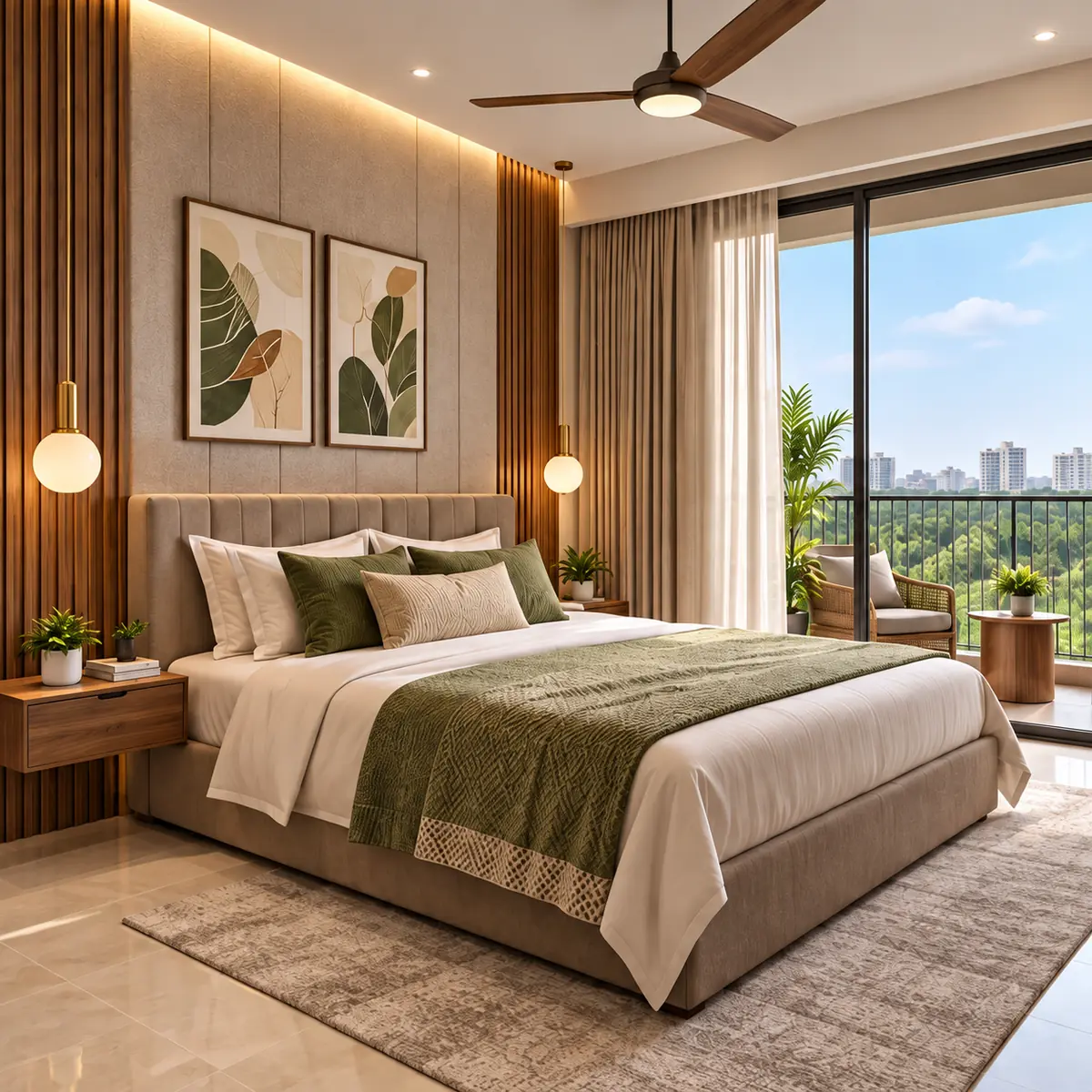
Artist's impression. Every bedroom is dimensioned on the published plates.
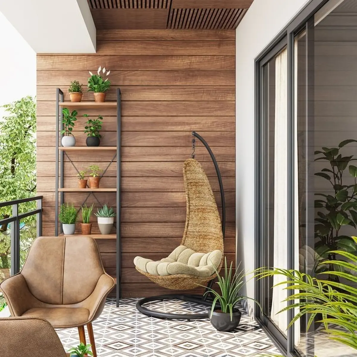
Kalyani's own render. Balconies on the 3 BHK plates run 18.7 and 18.9 sq.m.
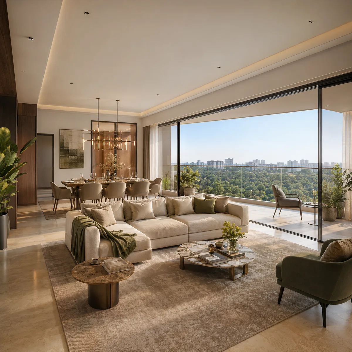
Artist's impression. For the real room dimensions, read the four published floor plates.
The tower elevation and the balcony sit-out are Kalyani's own renders. They come from channel-partner collateral rather than a public brochure - there is no RERA number, no price and no dated disclaimer anywhere in that document, which is worth knowing before you read any figure on it as settled.
The clubhouse and pool, the gardens, the living room and the bedroom are artist's impressions commissioned for this site. They show the kind of spaces the specification describes in words, but no interior finish schedule, clubhouse design or landscape drawing has been released, so they are not a record of anything built or approved. Each caption says which is which, because a render on a project page gets read as a promise.
The drawings tell you more than the renders do. The four floor plates carry every room dimension, the layout drawing shows the plot, and the location map places it on the corridor to scale.
Two of the six. The tower elevation and the balcony sit-out are Kalyani's own renders, taken from the channel-partner deck. The other four are artist's impressions commissioned for this site.
Artist's impressions commissioned for this site - the clubhouse and pool, the gardens, the living room and the bedroom. They show the kind of spaces the deck describes in words, but Kalyani has published no interior specification, clubhouse design or landscape drawing, so they are not a record of anything. Every caption says so.
Four sets: the tower elevation and the balcony sit-out here, the four floor plates on the floor plans page, the layout drawing on the master plan page - all from the developer's deck - and the location map, which is plotted to scale from OpenStreetMap.
They were removed. This site previously carried a '3 BHK floor plan', a '4 BHK floor plan' and a 'typical floor plate' that were generated illustrations rather than drawings - the floor plate showed eight homes per floor around a butterfly-shaped core, which is not the two-wing arrangement the developer describes. The developer's own plates are published in their place.
It is the developer's own, and it is published on the master plan page. Read it with the caveat printed beside it: the drawing shows eight low-rise blocks under a legend reading 'Single Tower'. The sanctioned plan is what settles it.
Not until there is something built to photograph. Ask the sales team for the approved render set and the sanctioned elevation, which arrive with registration.